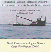

A preliminary survey to assess the availability and location of sand resources offshore of the Outer Banks was commissioned by the Outer Banks Task Force (OBTF), beginning in 1994. The primary intent of this survey was to collect reconnaissance data (single-channel, high-resolution seismic reflection and side-scan sonar profiles) to be used to develop baseline information regarding the availability of sand for beach nourishment and the shallow (<100 m depth) stratigraphy and sea-floor characteristics of the continental shelf within the jurisdiction of the State of North Carolina (3 nautical miles (nm)). The resulting survey obtained 1,164 km (628 nm) of profile data between 0.5 and 3 nm from shore. In 1995, geophysical data were supplemented with vibracores collected aboard the United States Army Vessel D/B Snell. One hundred twenty-one of these cores were analyzed and presented as part of the OBTF sand resource assessment. By C.W. Hoffman, S.K. Boss, and R.W. Brooks, 2001.
|


