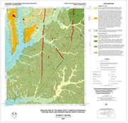

The geologic map for the Green Level quadrangle has been created as a general-purpose map that is applicable to land-related investigations in the earth, environmental and biological sciences. In color. Approximate scale - 1:24,000. Approximate size - 32"x42". By Mary E. Watson. 2001.
|


